If you have any public domain photographs of historical interest to donate, whether scanned or printed please contact the webmaster, Roger Chartier and your submission will be credited if it is displayed on this site.
Began November 17, 1962 finished May 21, 1966
6 photographs - during and after
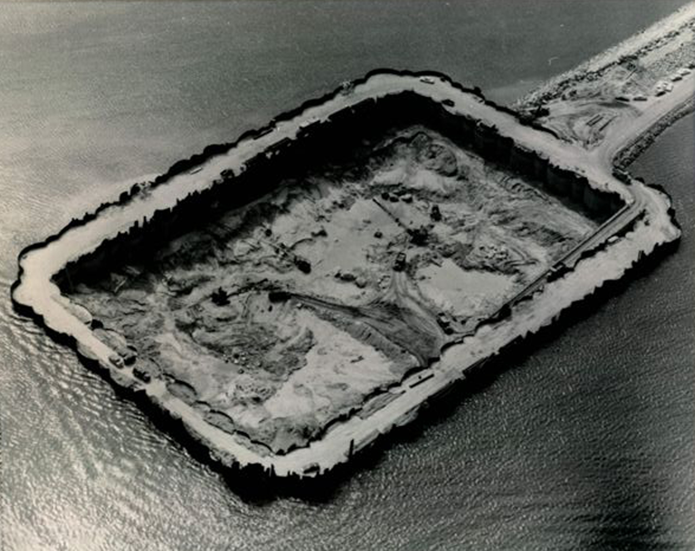
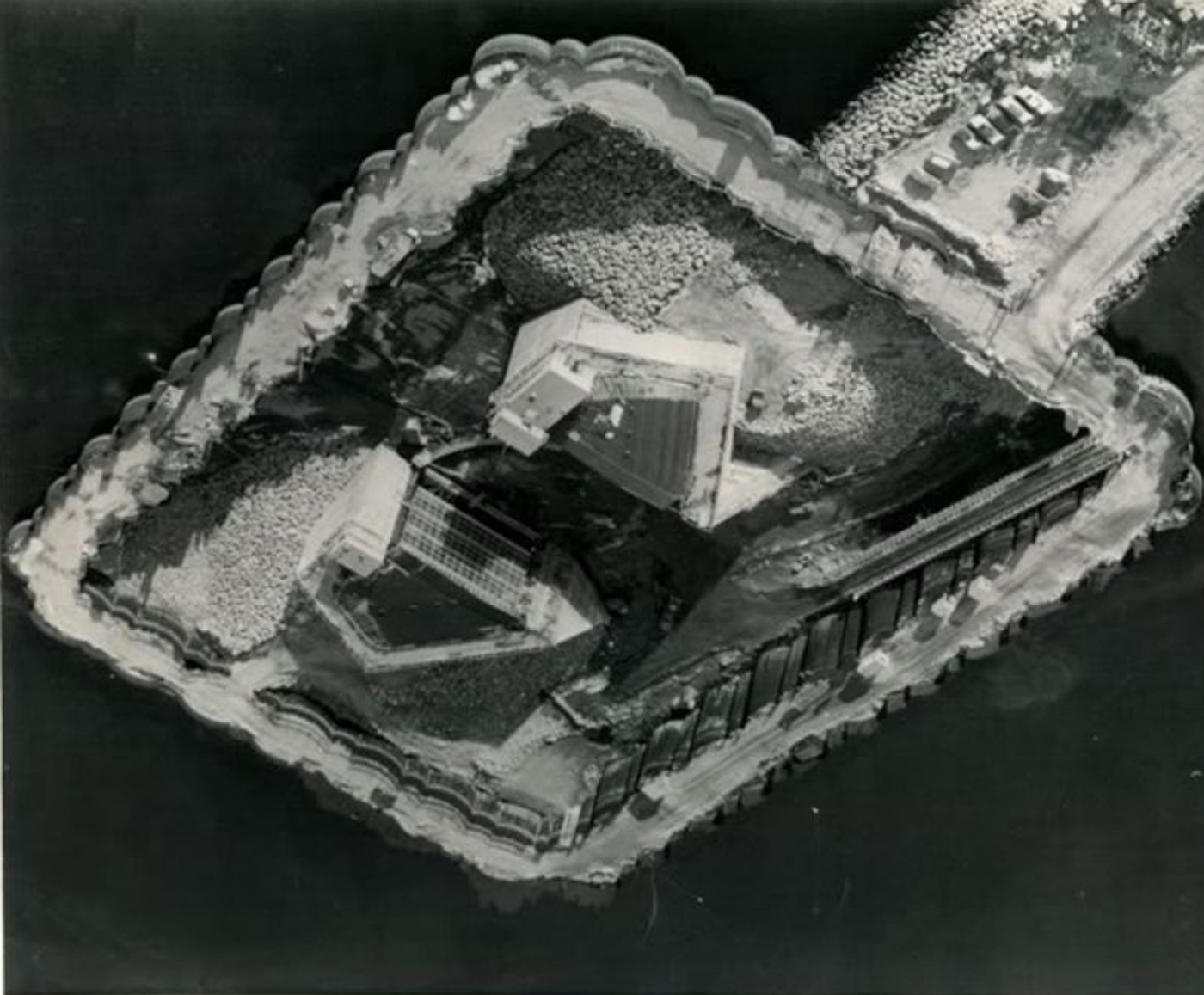
Below are two pictures of the cofferdam construction from the air. The size of the cars and trucks leave us with an impression of the scale of the project.
The cofferdam kept out the water and created a hole below sea level allowing the workers to begin building the foundation and access tunnel that runs beneath the barrier. (Click the pictures for larger images)
The construction was begun on November 21, 1962 and finished on May 21, 1966. Total cost was over $18 million, and is 3.5 miles long with the 150 foot wide gates at a mid-point in the harbor.
The structure stands 26 feet above mean high tide, and can be seen from outer space. It's the largest such structure on the east coast of the USA. The Army Corps of Engineers manages, and operates the main gates.
In case of a storm or excessive high tide, it takes12 minutes to close the main gates that weigh 40.5 tons each.
There is also a street gate and pumping station on East Rodney French Blvd just north of Billy Woods Wharf and Davy's Locker that is operated by the city of New Bedford.
The cut off point leaves the businesses and homes south of the barrier in harms way from storms.
This picture (below) shows the mechanism of the 150 foot wide gates being installed.
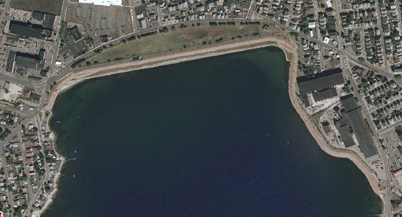
Below see 4 more 2010 aerial views - Click on the picture to enlarge it.
Below is the entire barrier in it's two sections
Tthe New Bedford harbor section and the Clark's Cove section
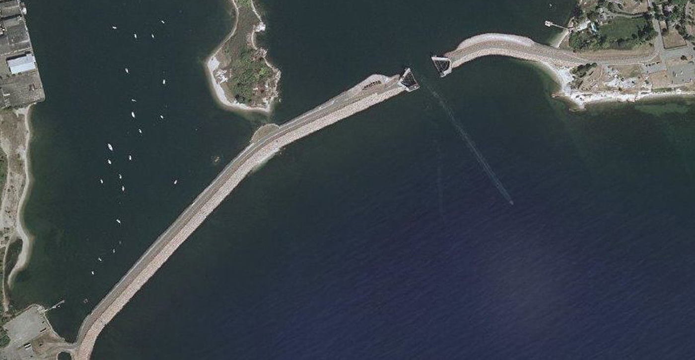
Below is a closer view of the New Bedford Harbor section of the barrier with the gates open.
Below is an aerial view of the street barrier gate that is controlled by the City of New Bedford.
The property to the south is unprotected.
This is the section of the New Bedford hurricane barrier at the northernmost part of Clark's Cove.
Until the late 1800's a stream emptied into this cove, and since then there has been a lot of landfill as can be seen from older maps of the area.